Key takeaways:
- The contiguous U.S. averaged 74.4 degrees Fahrenheit from June through August, 0.4 degrees hotter than the previous summer record set in 1936 and 2021.
- August averaged 75.6 degrees Fahrenheit nationally, with California, Nevada, New Mexico and Colorado each recording their warmest August on record.
- Drought covered 59.1 percent of the U.S. at the start of September, up more than 10 percentage points since early August, according to NOAA and the U.S. Drought Monitor.
The United States endured its hottest summer since record-keeping began 132 years ago, with NOAA reporting that extreme heat and expanding drought pushed national temperatures past records set during the Dust Bowl era and again in 2021.
The average temperature across the contiguous U.S. from June through August was 74.4 degrees Fahrenheit, or 23.6 degrees Celsius, the National Oceanic and Atmospheric Administration said Wednesday. Climate scientists define that three-month span as meteorological summer. The average was 3 degrees Fahrenheit above the 20th-century norm and 0.4 degrees hotter than the previous record, set in both 1936 and 2021.
August also set a monthly heat record. The national average temperature for the month was 75.6 degrees Fahrenheit, or 24.2 degrees Celsius. NOAA said the average daytime high reached 88.6 degrees, the warmest recorded average of its kind.
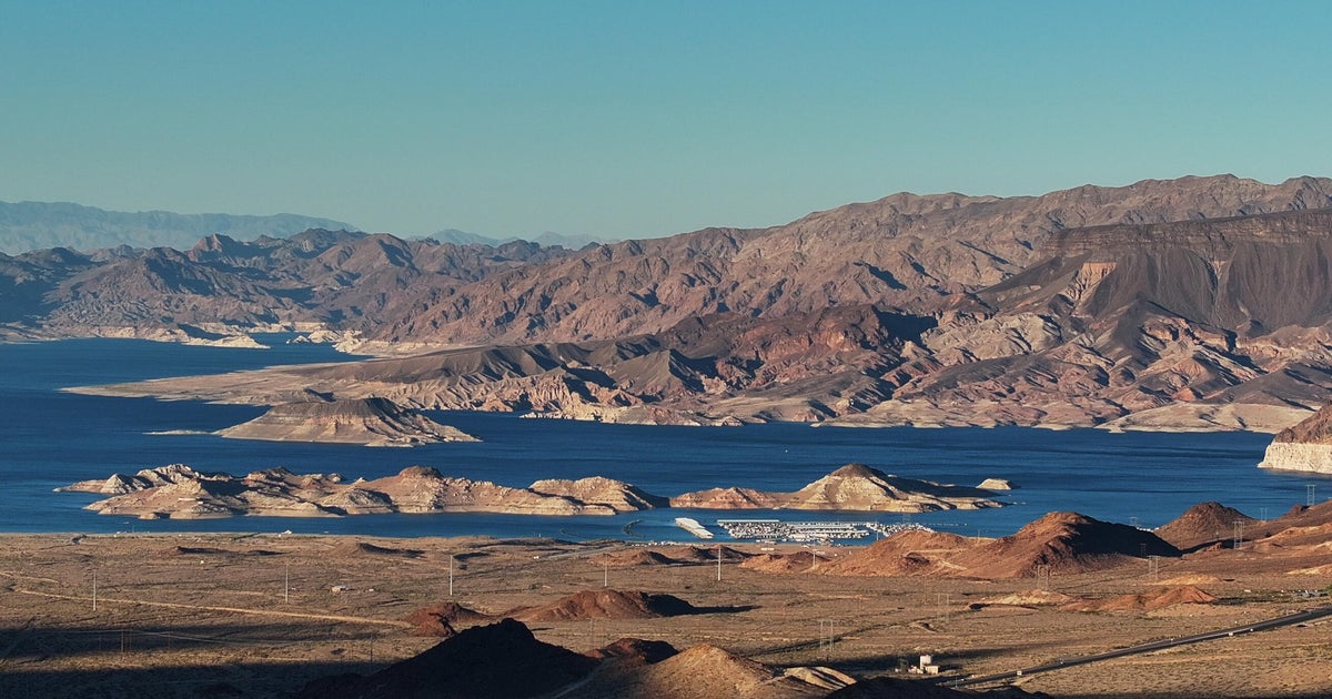
The heat was widespread. Much of the contiguous U.S. saw above- to much-above-average temperatures in August, with near-normal conditions limited to pockets of the Midwest and northern Plains. Record warmth spread across the West, Southwest, southern Rockies, southwestern Plains and southern Florida Peninsula, regions that also faced punishing heat waves, destructive wildfires and declining water reserves.
California, Nevada, New Mexico and Colorado each recorded their warmest August on record. California and New Mexico also posted record average daily highs. Nighttime temperatures broke records across large parts of the West, including Arizona, California, Colorado, Nevada, New Mexico and Utah.
For the full summer, Colorado, New Mexico and Utah recorded their hottest June-to-August periods, while Arizona tied its previous summer heat record.
NOAA said record-breaking summer heat has become increasingly common in recent years. Four of the five hottest U.S. summers have occurred in the past five years, according to the agency. Al Jazeera reported that this pattern is part of a broader warming trend driven largely by the burning of fossil fuels. The 1936 record came during the Dust Bowl, when extreme heat and drought combined with damaging farming practices across the Great Plains.
Rainfall did not offset the heat. Nationwide precipitation from June through August averaged 8.11 inches, 0.21 inches below the 20th-century average. Some states, including Indiana, Kentucky and Ohio, saw substantially above-average precipitation. Indiana and Ohio had their wettest August on record, receiving roughly twice their usual rainfall, according to Al Jazeera.
Other areas were much drier. California had its driest summer since 2002 and its fifth-driest on record. Texas and Oklahoma neared record-low rainfall in August, with Al Jazeera reporting both states received less than 30 percent of their usual August rainfall.
Drought expanded sharply as summer ended. Citing the U.S. Drought Monitor, NOAA said drought covered 59.1 percent of the U.S. at the start of September, up more than 10 percentage points since early August. Conditions worsened in parts of the Great Plains, Midwest and South, while drought persisted across much of the West. It eased somewhat in portions of the Southwest, Southeast and mid-Atlantic.
The heat may continue. NOAA expects a warmer-than-usual September across much of the country, with drought persisting or worsening in several regions and elevated wildfire risk in parts of the Northwest, Midwest and South. The World Meteorological Organization said a strengthening El Niño could become one of the most intense on record and persist into early 2027.
“If this trajectory continues, it may be stronger than anything since our monitoring began – so literally off the charts we have used for the past four decades,” WMO chief Celeste Saulo told reporters last week.








Be First to Comment