Key takeaways:
- The National Hurricane Center (NHC) has issued a warning that Tropical Storm Lee is expected to rapidly intensify and become an “extremely dangerous major hurricane” by early Friday.
- Lee has the potential to become a Category 5 hurricane, the strongest hurricane of the year.
- The NHC is urging residents of the Leeward Islands to monitor the progress of the storm and be prepared for possible impacts, including stocking up on supplies, securing loose items around the home, and having an emergency plan in place.
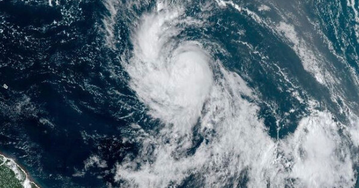
The National Hurricane Center (NHC) has issued a warning that Tropical Storm Lee is expected to rapidly intensify and become an “extremely dangerous major hurricane” by early Friday. As of 11 a.m. ET Thursday, Lee had maximum sustained winds of 105 mph and was located 870 miles east of the northern Leeward Islands.
According to Jonathan Porter, chief meteorologist at the NHC, Lee has the potential to become a Category 5 hurricane, the strongest hurricane of the year. Forecasters predict that Lee will intensify into a major Category 4 hurricane with winds potentially as high as 155 mph.
The NHC has advised residents of the Leeward Islands to monitor the progress of the storm and be prepared for possible impacts. The storm is expected to bring heavy rains and strong winds to the islands, which could cause flooding and power outages.
The NHC is urging residents to take the necessary precautions to protect themselves and their property. This includes stocking up on supplies, securing loose items around the home, and having an emergency plan in place.
The NHC is continuing to monitor the progress of Hurricane Lee and will provide updates as the storm moves closer to the Leeward Islands. Residents are advised to stay informed and follow the instructions of local officials.


Be First to Comment