Key takeaways:
- The Met Office forecasts sea surface temperatures in a key Pacific region could exceed 3C above average, which would be unprecedented in records dating to 1950.
- Forecasters say El Niño could bring drought, wildfires, flooding and stormier conditions in different regions, while suppressing Atlantic hurricane activity.
- Met Office scientist Nick Dunstone said 2027 is very likely to replace 2024 as the warmest year on record globally.
A fast-developing El Niño in the Pacific Ocean is likely to become the strongest in living memory, the UK Met Office warned, raising the risk of extreme weather worldwide and making 2027 “very likely” to be the hottest year on record globally.
The natural climate pattern, which releases ocean heat into the atmosphere and shifts rainfall and wind patterns, is already showing signs of disrupting weather across continents. The Met Office said sea surface temperatures in a key part of the Pacific are now well over 2C above the long-term average and could exceed 3C later this year as the event nears its peak.
“We should be clear that this is an unprecedented event,” said Prof Adam Scaife, head of long-range forecasting at the Met Office. “I have never seen an El Niño signal this intense in our forecasts.”
Al Jazeera reported that the Met Office expects the impact of this year’s El Niño to be the most intense in more than a century. Typically, El Niño raises sea surface temperatures by 1C to 2C, but forecasters said the 2026 event could reach record values above 3C. Scaife told the BBC that such a rise would be “unheard-of in modern climate records.”
El Niño occurs every two to seven years and usually lasts about a year. It forms when trade winds that normally blow east to west across the Pacific weaken or reverse, allowing warm water to spread eastward. Scientists generally declare an El Niño when sea surface temperatures in a key Pacific region rise at least 0.5C above the long-term average.
The Met Office said a 3C increase would be unprecedented in records dating to 1950 and probably the strongest event since the 19th century. Very high temperatures below the surface — around 8C above normal at a depth of 100 metres in some places — could provide a reservoir of warm water that reinforces the event.
“We have many months to go while this event continues to develop and that’s one of the reasons that we have increased confidence that this will be a record-setting event,” said Dr Zeke Hausfather, a climate scientist at Berkeley Earth. Some climate groups have projected even stronger warming, perhaps 4C above average. If that happens, Hausfather said, “it’s not beyond the realm of possibility to say this might be the strongest El Niño event in 500 or even 1,000 years.”
The World Meteorological Organization says there is “no evidence” that climate change increases the frequency or strength of El Niño events, though the issue remains under scientific study. The BBC reported that a 2021 Intergovernmental Panel on Climate Change report said El Niño intensity appears to have increased since 1950 compared with the period dating back to around 1400, while historical records show large fluctuations over past millennia.
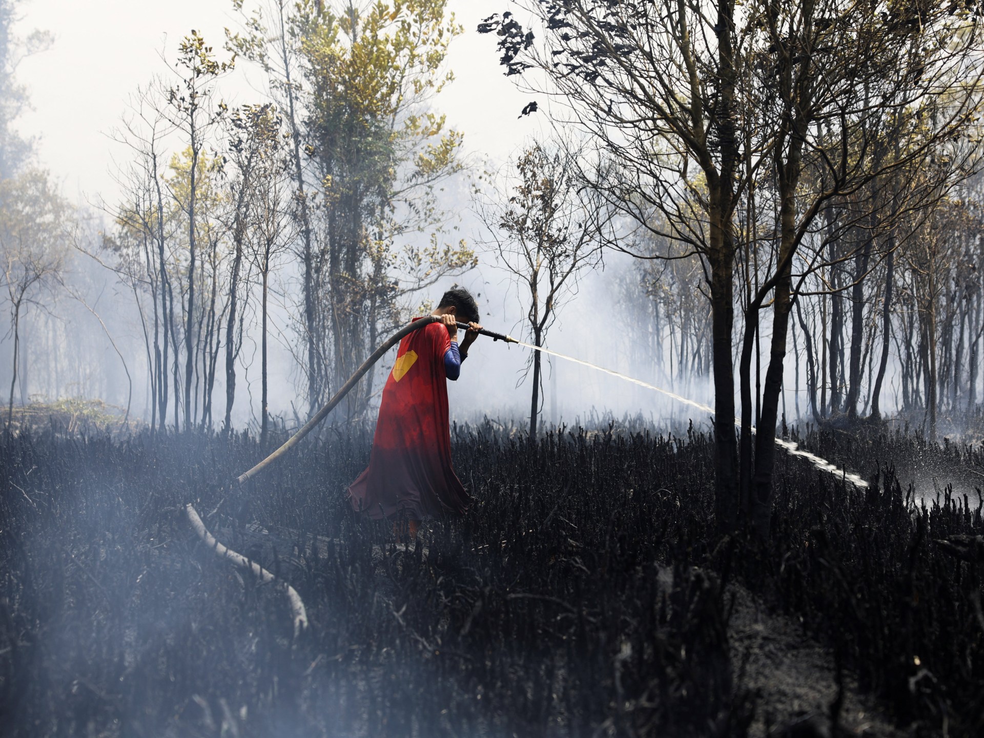
Forecasters said the developing event could bring drought and wildfires to northern South America, Australia, South America and the West Pacific, while increasing flood risks in Peru, Ecuador and the southern United States. The BBC reported that India’s monsoon rains are running well below normal and Atlantic hurricane activity has been suppressed, with only three named storms so far this season.
The UN Food and Agriculture Organization warned earlier this month that this El Niño could threaten tens of millions of people in at-risk countries with crisis-level acute food insecurity, according to the BBC. Past events have hurt coffee, rice and cocoa yields and have been linked to food price spikes and hundreds of billions of dollars in lost global GDP.
For the UK and northwestern Europe, the Met Office said El Niño could increase the chances of a wet, stormy autumn and early winter. Its effects on UK weather are usually more muted than in tropical regions, and it is not thought to have significantly influenced this summer’s record-breaking heatwaves.
Global average temperatures have already risen by roughly 1.4C since the late 19th century because of human activities such as burning fossil fuels. Met Office climate scientist Dr Nick Dunstone said El Niño’s temperature boost is especially pronounced in the calendar year after its winter peak. “Hence, 2027 is very likely to replace 2024 as the warmest year on record,” he said.










Be First to Comment