Key takeaways:
- Tropical Storm Ophelia made landfall near North Carolina’s Emerald Isle with near-hurricane-strength winds of 70 mph.
- The National Weather Service has warned of flooding, coastal storm surge and potential tornadoes in the Mid-Atlantic region.
- Residents in affected areas are advised to take necessary precautions and stay alert for any updates from local authorities.
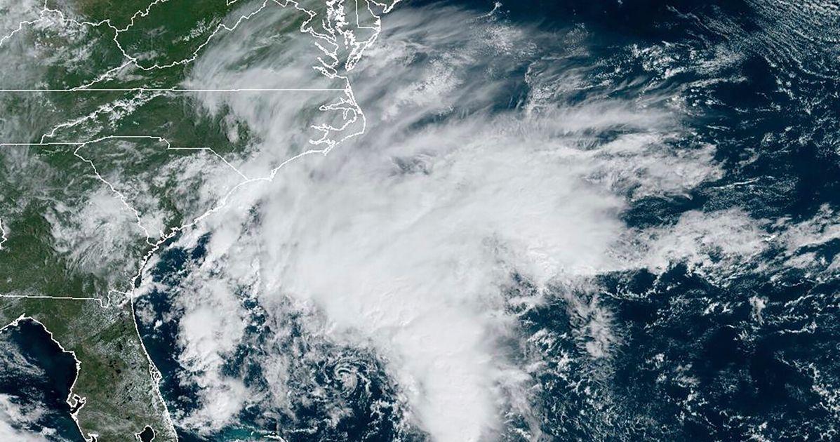
Residents in parts of coastal North Carolina and Virginia experienced flooding Saturday after Tropical Storm Ophelia made landfall near a North Carolina barrier island. The storm came ashore near Emerald Isle with near-hurricane-strength winds of 70 mph (113 kph) at around 6:15 a.m. and weakened as it traveled north.
Tropical Storm Ophelia is continuing to bring heavy rainfall and strong winds to parts of the Mid-Atlantic after making landfall early Saturday near North Carolina’s Emerald Isle. Maximum sustained winds of 40 mph were reported, with the storm centered about 50 miles south of Richmond.
The National Weather Service has warned of flooding, coastal storm surge and potential tornadoes in the Mid-Atlantic region throughout the weekend. Severe weather, including heavy rain paired with flooding, hail and tornadoes is also likely in parts of the Central U.S., including eastern Oklahoma into the Lower Missouri River Valley.
Residents in affected areas are advised to take necessary precautions and stay alert for any updates from local authorities. This Saturday, Sept. 23, 2023, 8:16 am EST satellite image provided by the National Oceanic and Atmospheric Administration shows Tropical Storm Ophelia making landfall in North Carolina.


Be First to Comment