Key takeaways:
- The UN General Assembly approved the “Correct the Map” resolution by a vote of 164-1, with the United States voting no and six countries abstaining.
- The resolution promotes the Equal Earth projection, while not challenging the Mercator projection’s use for maritime and aerial navigation.
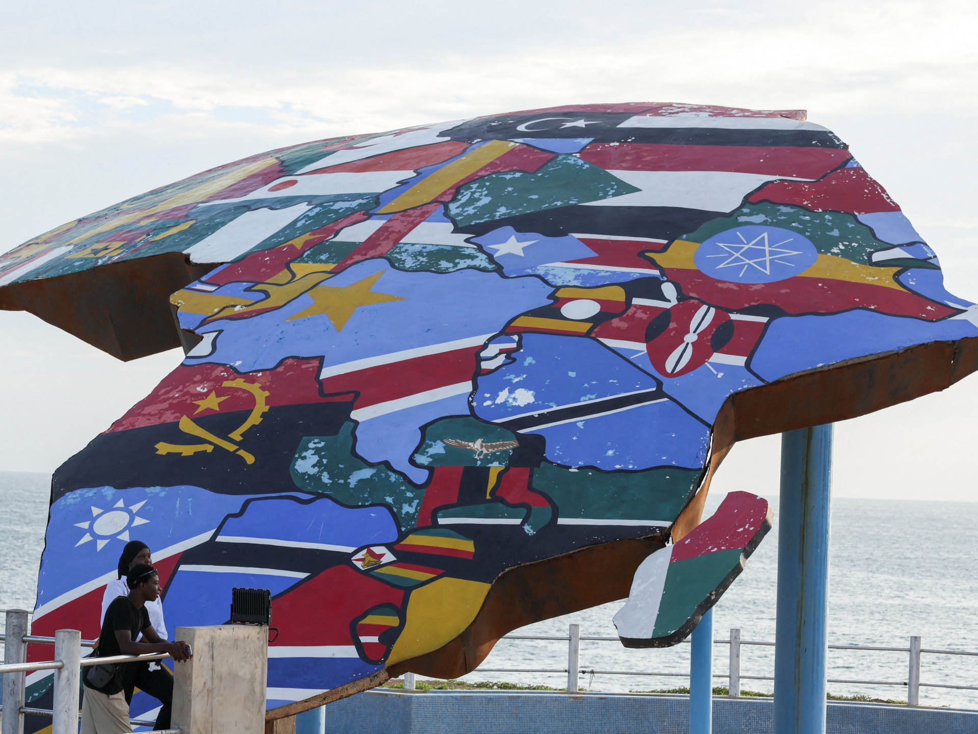
- Africa is about 14 times larger than Greenland, though the Mercator projection makes the two appear roughly similar in size.
The United Nations General Assembly has voted overwhelmingly to replace the traditional Mercator world map with a projection that more accurately shows Africa’s size, backing an African-led campaign to change how continents are represented in classrooms, institutions and public life.
The non-binding “Correct the Map” resolution passed Friday with support from 164 nations, including France and the United Kingdom. The United States cast the only vote against it, and six countries abstained. The measure was sponsored by Togo and backed by African Union members; Al Jazeera reported that the Bahamas also put it forward.
The resolution promotes the Equal Earth projection, an equal-area map developed by cartographers in 2018. The African Union’s 54 member states adopted it in February, saying it “more accurately represents the sizes of all continents, particularly Africa.”
The vote targets the long-dominant Mercator projection, created in 1569 by Flemish cartographer Gerardus Mercator to aid European navigation. The map remains useful for maritime and aerial navigation, and the Togolese ministry said the resolution “in no way challenges” that use. But as a general world map, the Mercator projection distorts land masses by enlarging areas near the poles and shrinking those closer to the equator.
One of the clearest examples is Greenland, which appears roughly the same size as Africa on many Mercator maps despite Africa being about 14 times larger. The online campaign group #CorrectTheMap said: “You could fit the United States, China, India, Japan, Mexico and much of Europe into Africa and still have land to spare.”
Supporters say the distortion has had consequences beyond geography lessons. They argue that Africa’s smaller appearance has shaped perceptions of its development needs, resources, population and investment potential.
“A fair world begins with a fair map,” Togolese Foreign Minister Robert Dussey told Reuters before the vote. At a UN briefing, he said: “A map is never neutral. It shapes perceptions, influences how the place of peoples and continents in the world is understood.”
France co-sponsored the resolution and said it would move away from the Mercator projection. French Foreign Minister Jean-Noël Barrot said his ministry would use map representations “tailored to specific uses, more faithful to actual surface areas and in line with the recommendations of cartographers and scientists.”
“Changing the map obviously doesn’t change the world. But correcting a representation that distorts it is already an act of truth,” Barrot said. He also said the Mercator map gives “the United States, Russia and China” disproportionate visual prominence compared with Africa, Latin America and southeast Asia, adding that “distortions eventually take root in perceptions.”
The United States opposed the resolution, saying it promoted an ideological agenda and distracted from more pressing issues. Yaryna Ferencevych, a U.S. representative at the UN, said the measure mocked the work and purpose of the General Assembly.
“Instead of focusing on genuine problems of international peace, prosperity, or good relations, this body is debating map projects from the 16th Century, and their role in promoting reparations and ‘cognitive justice,’” she said.
Advocacy groups behind the campaign welcomed the result while calling for practical changes. Moky Makura, executive director of Africa No Filter, said “now the real work begins.”
“We want to see accurate maps in schools, textbooks, newsrooms, businesses and on the digital platforms billions of people use every day,” Makura said. “If we got something as basic as Africa’s size wrong for this long, what else about Africa have we simply accepted without questioning? Africa doesn’t need to be made bigger. It needs to be seen accurately.”
Lerato Mogoatlhe of Africa No Filter told the BBC that “Africa’s misrepresentation on world maps is not just a cartographic error — it’s a narrative issue.” Kenyan geographer Kioko Muendo told the BBC that maps “shape how regions are perceived politically and economically.”
Togo hopes to revise its school geography materials by the end of the year, Dussey told Reuters, and plans to press governments, schools, international organizations and technology companies to shift from Mercator maps to Equal Earth.

Be First to Comment